![]()
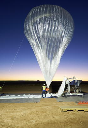
Building Actionable Atmospheric Awareness
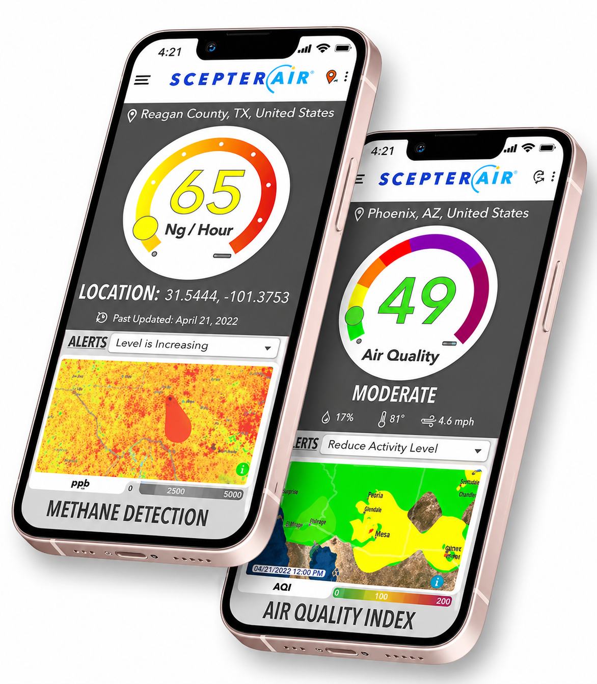
MethaneView: High Emissions Download datasheet (PDF)
Scepter's methane detection from public satellite sources offers crucial insights into methane point-source emissions. By utilizing Sentinel 2 and Sentinel 5P satellites, this service provides accurate detection and monitoring capabilities, empowering industries to address environmental challenges.
Features
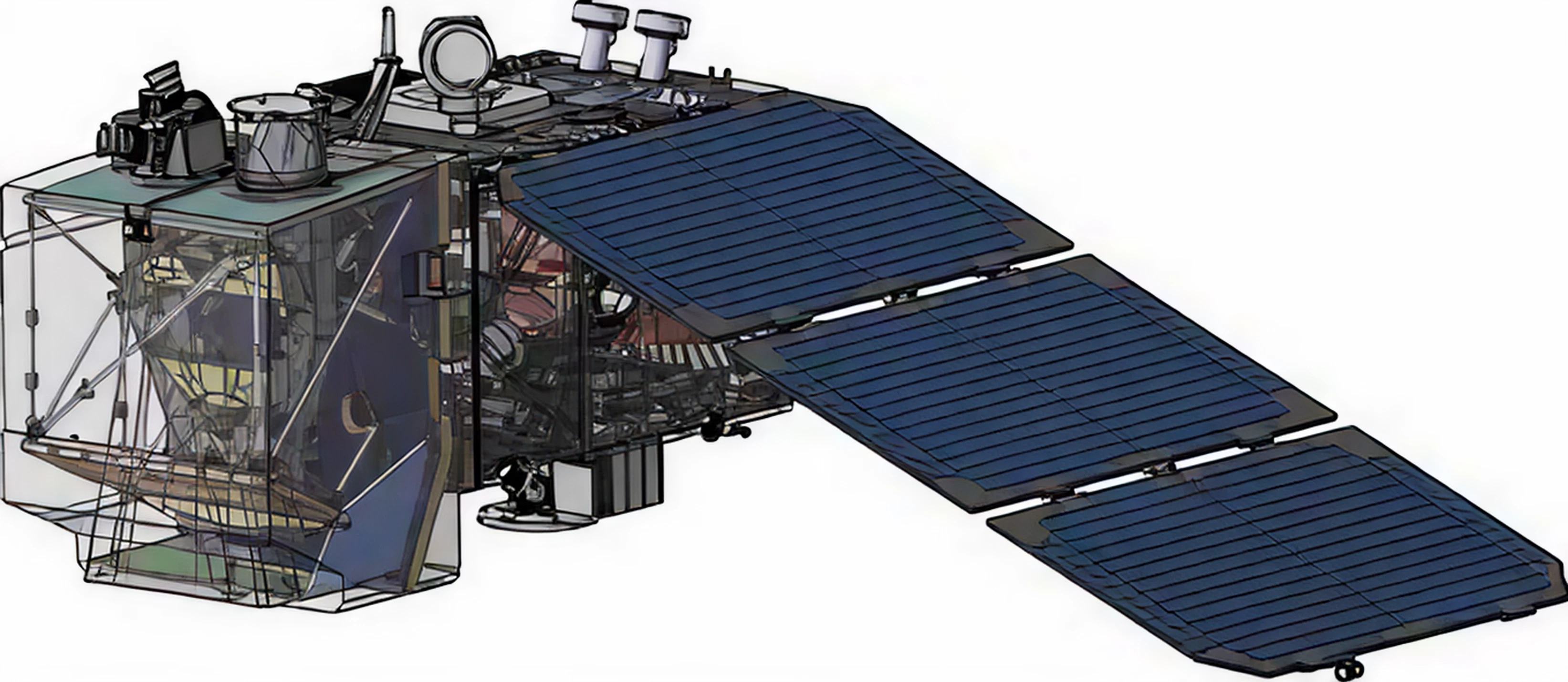
Sentinel 2
Sentinel 5P
Methane Detection Thresholds
~1000 kg/hr
>5000 kg/hr
Spatial Resolution
20 meters
5.5 × 7 km
Revisit Rate
2–5 days
1 day
Plume Detection
Accurate plume location
Accurate plume location
Coverage
Available globally with regulatory approval
Available globally with regulatory approval
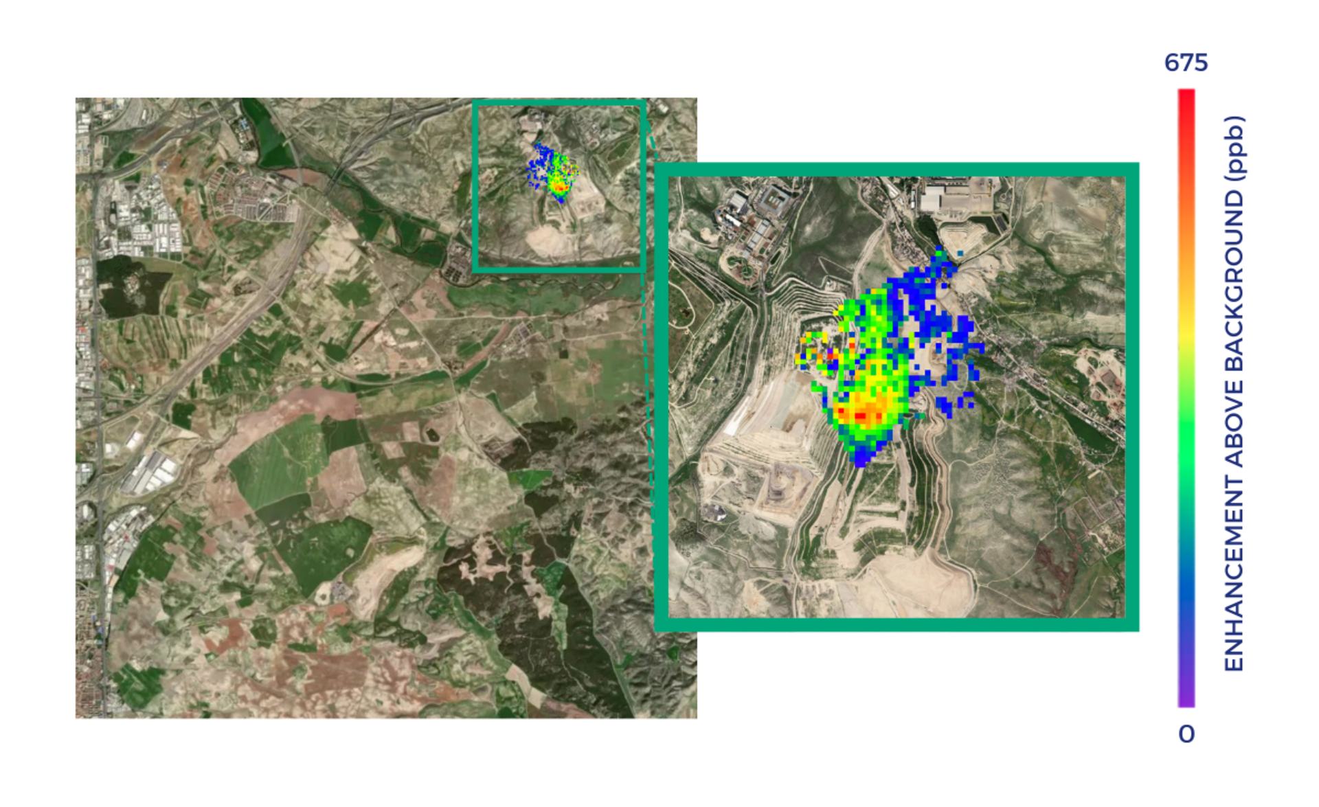
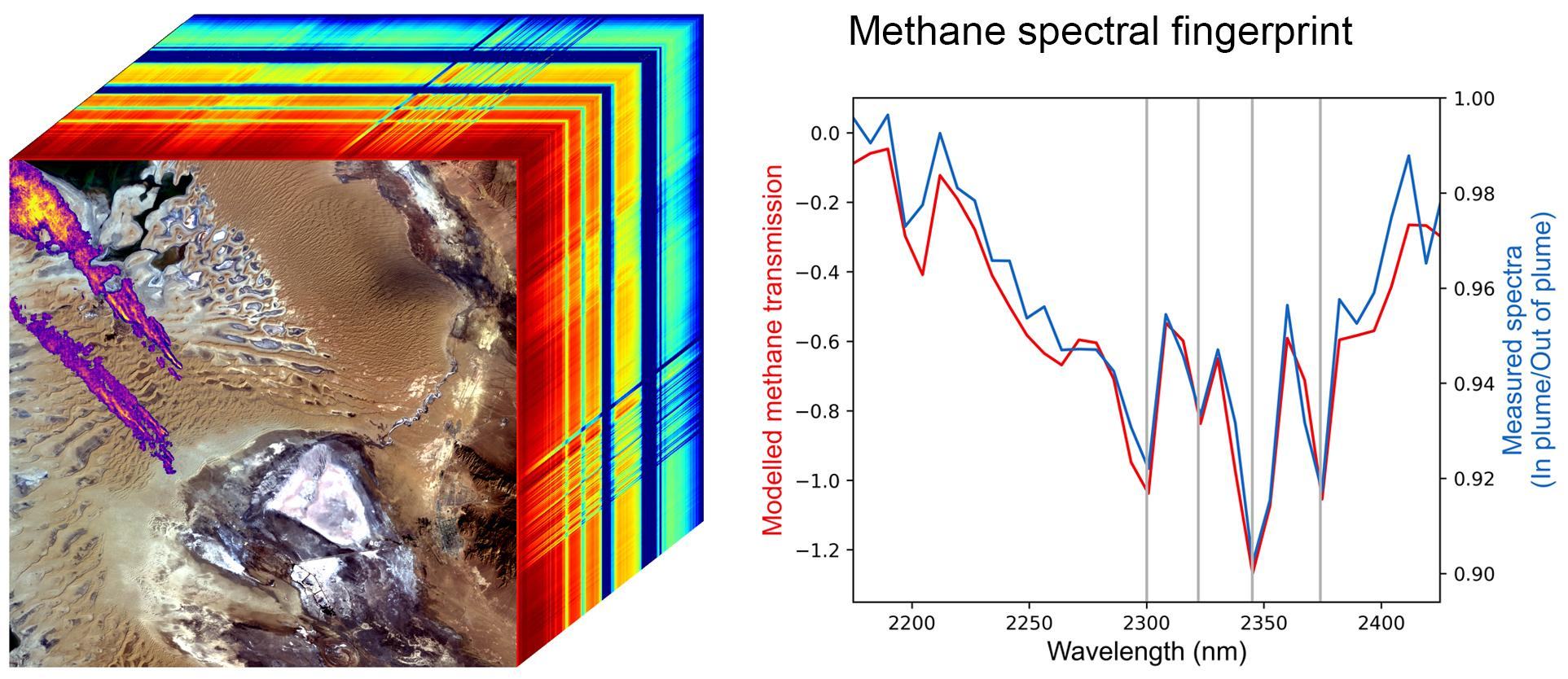
Sentinel 5P methane emissions detected from Madrid landfill, August 2021.
Delivery & Access
- Availability:
- Data availability determined within hours of post-data acquisition.
Data Formats
- Methane Product:
- GEOTIFF
- Plume Locations:
- Geospatial coordinates